The Tsleil-Waututh Nation’s action plan for improving the health of the Burrard Inlet ecosystem by 2025 is summarized on this webpage. The plan involves monitoring and supporting water quality and marine wildlife with measurable goals.
An archaeological dissertation about stone tools and other lithic materials found in the Squamish Nation territory, and how they are connected to culture, place names, and oral histories, particularly the oral history themes of Transformation and Mythical Beings.
A newspaper article documenting the signing of the Burrard Inlet stewardship agreement by the Tsleil-Waututh Nation and Canada in 2021. The agreement includes a $20 million investment to support environmental restoration, and allows the Tsleil-Waututh community to strengthen and maintain their connection to the water.
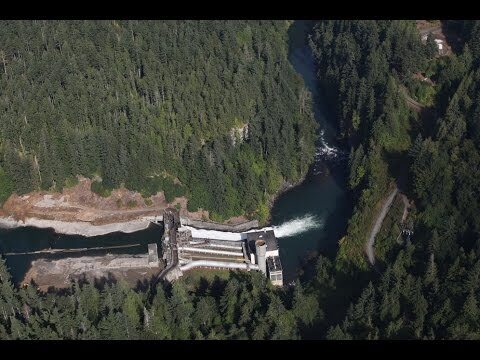
A documentary about the removal of two dams from the Elwha River. Follows the history of the river and the Lower Elwha Klallam Tribe; the building of the dams, their impact on the environment and local communities, and their removal; and the positive cultural and ecological impacts of returning salmon.
Article advocating for the return of national parks land to federally-recognized Tribes. It cites examples of violence and forced removal, and discusses the myth of “American wilderness” on land tended by Indigenous people. Author David Treuer (Ojibwe) explains how people and the environment would benefit.
A podcast episode about the removal of two dams from the Elwha River on the Olympic Peninsula. Through research and interviews, the hosts explain what it took to overcome the hurdles to this restoration project, the importance of its success for the ecosystem, and what lessons can be applied to other ecosystem renewal projects.
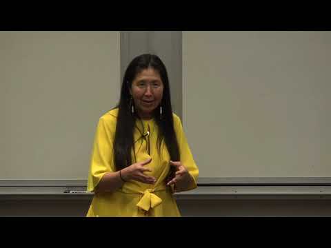
A video of a conversation with Debra Lekanoff, a Washington State Representative and member of the Tlingit Tribe, at Western Washington University. She discusses challenges, progress, and goals for the environmental health and climate of the Salish Sea and Washington State.
The Nisqually Indian Tribe’s official plan for managing the Nisqually watershed. It was published in 2003, following the Watershed Management Act of 1998, which sought to allow citizens, governments, and tribes to develop solutions to water issues. It aims to balance demands for water with environmental conservation.
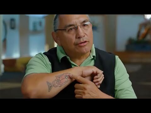
A video about the Lower Elwha Klallam Tribe’s connection to the Elwha River, and the recolonization of salmon in the river following the removal of two dams.
This article explains how the removal of two dams from the Elwha River is an example of a successful restoration project. The dams devastated salmon populations and local communities, and the Lower Elwha Klallam Tribe and conservation groups advocated for their removal. Since their removal in 2011 and 2014, the keystone species has been returning, and research shows improved biodiversity and environmental health.
Eight Tribes and Olympic National Park signed a Memorandum of Understanding in 2008 to improve open dialogue and collaboration on the Washington State peninsula, as documented in this article. The tribal governments and National Park Service had collaborated on projects before, but this agreement hopes to formalize and strengthen shared stewardship of the land and its resources.
In the mid-to-late-1800s, integrated schools on Salt Spring Island, B.C. held student bodies of Indigenous, Black, and White children. This article tells how John Craven Jones founded and taught at these schools, with no funding for the first ten years.
A video about the history, significance, and process of harvesting camas (c’abid in Lushootseed), explained and demonstrated by Angie Totus of the Puyallup Tribe.
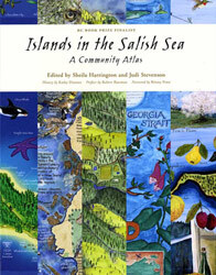
An atlas about the Gulf Islands in B.C. containing maps, charts, and information about their physical environment, ecosystems, and cultural issues, published by the Canadian Parks and Wilderness Society. It seeks to promote the ecological health of the four national parks on the Gulf Islands by serving as a resource for local policy development and land use.
Part one of the “On Fire: Camas, Cores, and Spores” series on the podcast Future Ecologies. The episode discusses the history and evolution of fire, and the evolution of plants, animals, and human technologies concerning fire.
Increasingly, ethnoecologists, anthropologists, and conservation biologists are recognizing that Indigenous People of the Northwest Coast and neighboring regions have been astute stewards and managers—not just harvesters and consumers—of the resources and ecosystems on which they have relied. Over thousands of years, these people have developed diverse practices and protocols that have not only sustained, but enhanced the resource species both in quantity and in quality. These practices are based on long-term observation and experience, and are embedded in belief systems, ceremonies, dances, art, and narratives. Here we provide an overview of marine and coastal resource management systems that have been documented to date, and then cite three examples in more detail: clam gardens, salmon production, and estuarine root gardens. These different production systems do not function alone but are components of an entire complex of land and resource management extending across the marine and terrestrial landscapes, “from ocean bottom to mountaintop.” These traditional management systems have been seriously disrupted since the arrival of European newcomers and the resulting impacts on key habitats from colonial settlement, land encroachment, changes in land tenure, land-use conversion, and industrial scale exploitation. Today, collaborative efforts between Indigenous communities, ethnoecologists, and others are underway to recognize and restore some of these critically important Indigenous production systems and associated practices as a means of ethnoecological restoration, habitat enhancement, and food system revitalization.
Map that places the Coast Salish at the forefront, prioritizing their relationship and history with their territories. Language and culture are at one with the landscape.
Book composed of over 20 hours of oral history by Dave Elliot, PENÁĆ, a Saanich elder, who shared knowledge about the Saanich people, territory, place names, seasonal cycle, European contact, the Douglas Treaties, and reef-net fishing.
Indigenous knowledge holders, scholars, and artists created an interactive, global map of the sea gardens across the Pacific. The map describes ancestral innovation and connections, geographic and temporal extents, biophysical manipulations, target species, ceremonial and stewardship practices, and the current status of sea gardens; information to which many different universities, organizations, and agencies contributed.
Article celebrating the recognition of the Howe Sound area as Canada’s 19th biosphere by the United Nations Educational, Scientific and Cultural Organization, an effort that was five years in the making.
Website about the Marine Stewardship Initiative that strives to protect the diverse economic, ecological, cultural, and social values associated with the Átl’ḵa7tsem/Txwnéwu7ts/Howe Sound’s ocean and freshwater.
Book mapping the most beloved places in the Salish Sea, created by a diverse group of collaborators across the Salish Sea. Maps range from fishing spots and ancient First Nations sites to bird migration and heritage orchids.
Chapter of British Columbia in a Global Context, discussing the history of commercial logging in B.C. The chapter talks about how logging contributed to the building of roads, railroads, and other infrastructure and how that shaped B.C's physical and economic landscape.
Article about the significance of the last coal mine on Vancouver Island closing in 2016. The coal industry built Vancouver Island’s economy, but low commodity prices and larger shifts toward more eco-friendly energy sources have impacted the industry.
Vancouver coal miners went on strike in the 1910s for safety issues and union recognition. This encyclopedia article discusses how companies retaliated by hiring strikebreakers and sending in militiamen. Efforts were unsuccessful and union recognition did not come until 1938.
Website of the Wilderness Committee, a Canadian conservation organization focused on research, community mobilization, and grassroots public education. Their work includes Land Back campaigning, protecting freshwater fisheries, and protecting the Skagit headwaters from mining and drilling.
Conservation group Sierra Club of BC has campaigns pressuring policy makers to protect old-growth forests from logging, prioritize biodiversity, combat climate change, and protect farmland.
Training for Change handout that identifies effective and ineffective actions associated with four change-making roles: “helper,” “advocate,” “rebel,” and “organizer.”
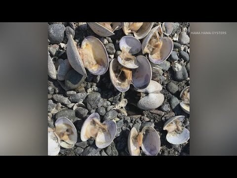
Video from King 5 News about the 2021 heat wave. High temperatures and low tides damaged shellfish populations and impacted Washington State’s shellfish industry.
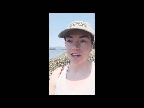
Video about the 2021 heat wave’s effect on intertidal creatures through the Strait of Georgia and the Salish Sea. Researcher from University of British Columbia’s Harley Lab collects data on living and dead mussels in Davis Bay.
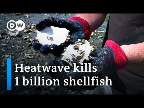
News video about the 2021 heat wave’s effect on British Columbia’s ecosystem. Up to one billion shellfish died, an example of climate change’s effects on agriculture and farming families.
Map depicting the volcanic hazards at Mt. Rainier. Scientists believe the next eruption could produce volcanic ash, lava flows, and avalanches, making this the most threatening mountain in the Cascades.
Article featuring Carolyn Driedger, geologist at Cascades Volcano Observatory. Driedger discusses the hazards of Mt. Rainier, the safety measures the city of Orting has put into place, and the importance of pre-planning for the possibility of an eruption.
Webpage from the Seattle Office of Emergency Management featuring Washington’s five active volcanoes in the Cascade Range: Mt. Baker, Glacier Peak, Mt. Rainer, Mt. Adams, and Mt. St. Helens. The webpage goes over the many hazards caused by eruptions such as lahars, and what they may mean for the people of Seattle.
New York Times article exploring the heat wave in Lytton, British Columbia, 2021. Record-breaking temperatures of 121 degrees ignited a fire that destroyed 90 percent of the town.
Video by Geology Hub talks about Mt. Rainer, an active volcano that would cause major destruction if it were to erupt. Video features the geological history of the volcano and lahar hazard mapping.
Seattle Office of Emergency Management webpage discussing fire emergency management. The page goes over the dangers of fires, safety systems, and how climate change has put wildfires on Seattle’s list of concerns.
Seattle Office of Emergency Management webpage discussing landslide emergency management. The page goes over the dangers of landslides to the city and what measures the city has taken to mitigate vulnerability to landslides.
Seattle’s Office of Emergency Management provides basic information about floods. Describes main types of flood hazards, projected effects of climate change, and local flood control infrastructure.
Models of potential flooding and related hazards surrounding the Fraser River. These maps aim to improve risk assessment and emergency preparedness as part of developing a region-wide flood strategy for British Columbia’s lower mainland.
Scholarly article examining Indigenous oral traditions, beliefs, and ceremonies for evidence of what earthquakes and tsunamis in the Pacific Northwest’s history were like and how they impacted local communities.
Seattle’s Office of Emergency Management provides basic information about tsunamis and seiches. Explains characteristics, historic occurrences, and potential effects of each.